LINKS
Links@Taiwan
| No. | Site name | Introduction |
|---|---|---|
| 1 | National Science and Technology Center for Disaster Reduction (NCDR) | The webiste integrates the disaster prevention technology resouces of government and academic organization, it contains abundant disaster prevention information. There are minor websites such as Disaster Management Information Integration and CAP platform. |
| 2 | Satellite data open service platform (CSRSR, NCU) | The currently open data includes the multi-year SPOT series in Taiwan since 1993 (SPOT1~SPOT7) satellite orthophotos, as well as top-of-atmosphere reflectance (TOAR), surface reflectance (SREF), vegetation index (NDVI), etc., produced by this site. These are 'Analysis Ready' products. |
| 3 | Taiwan Map Service (by NLSC) | Taiwan Map Service integrates multiple maps, such as Taiwan's general electronic map, land use investigation, and cadastral maps, all the information can be widely applied by the people from all walks of life. |
| 4 | ASO Taiwan Images Service and Supply Platform | The platform provides historical aerial photos which allow the public to use. |
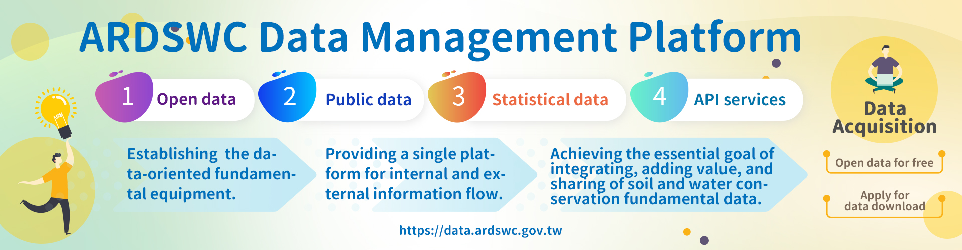
| 5 | Government Open Data Sharing Platform | The website allows the public to search and download all the government's open data. |
| 6 | Disaster Information System (by NCDR) | Disaster Management Information Integration provides disaster potentials and pre-alert information of natural disasters such as wind and flood disasters and earthquakes. |
| 7 | Geological Survey and Mining Management Agency, MOEA | The webiste provides the achievement of the projects, geological information search, and geology encyclopedia, etc. |
| 8 | Geological Data Searching System (Taiwan) | Geological Survey System provides a platform which can well manage and integrate the homeland geological information, and it also contains the information which is related to operational environment and data warehousing for reference. |
| 9 | Taiwan Geospatial One-Stop Portal (TGOS Portal) | Taiwan Geospatial One-Stop integrates the geospatial databases and allows the users to download and use. |
| 10 | Water Resources Agency, MOEA | The website provides information about water resources and the links of other services. |